After spending two nights in Colima city, we head to the Volcán de
Colima. For this, one must go northwards through a few towns. It’s a short
distance, around 50 km, but we decided to split it in two days because 1. We
were recommended to visit Comala and 2. We departed (as always) late. We rode
the 10 km that separate Colima city from Comala. This place is considered a “pueblo
mágico” (magic town?) and it’s kinda famous for being the place where a mexican
novel book takes place (Pedro Páramo, from Juan Rulfo). It’s a colonial town,
buildings date from before the Independence era.
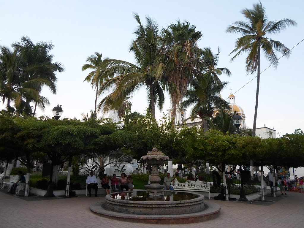
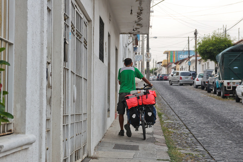
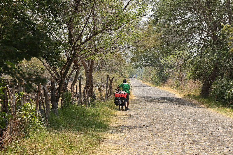
Here we spent a while at the plaza eating lunch and just watching
people, and then we continued our way through cobblestoned streets, which are
common in small towns in México, and often make us get off the saddle and push
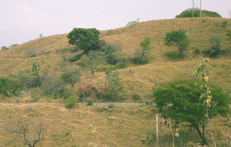
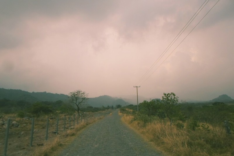
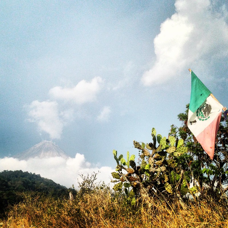
our bikes. Supposedly the Volcán should
be visible from this distance, but clouds interfere between him and our sight.
 |
| Photo credit: Marika Latsone |
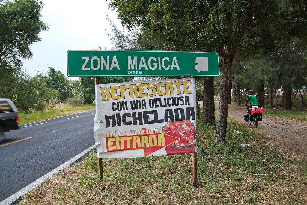
To get to the next town, Suchitlán, there’s a 20 km distance of almost
only uphill. The climb to the Volcán begins. We passed through the “Zona mágica”
(Magic zone), where, it is said, one can turn off one’s car and the magic of
the place will make it continue moving forwards, despite the uphill. I suppose it
doesn’t work with bikes, since I had to make the same effort to keep moving.
 |
| Photo credit: Marika Latsone |
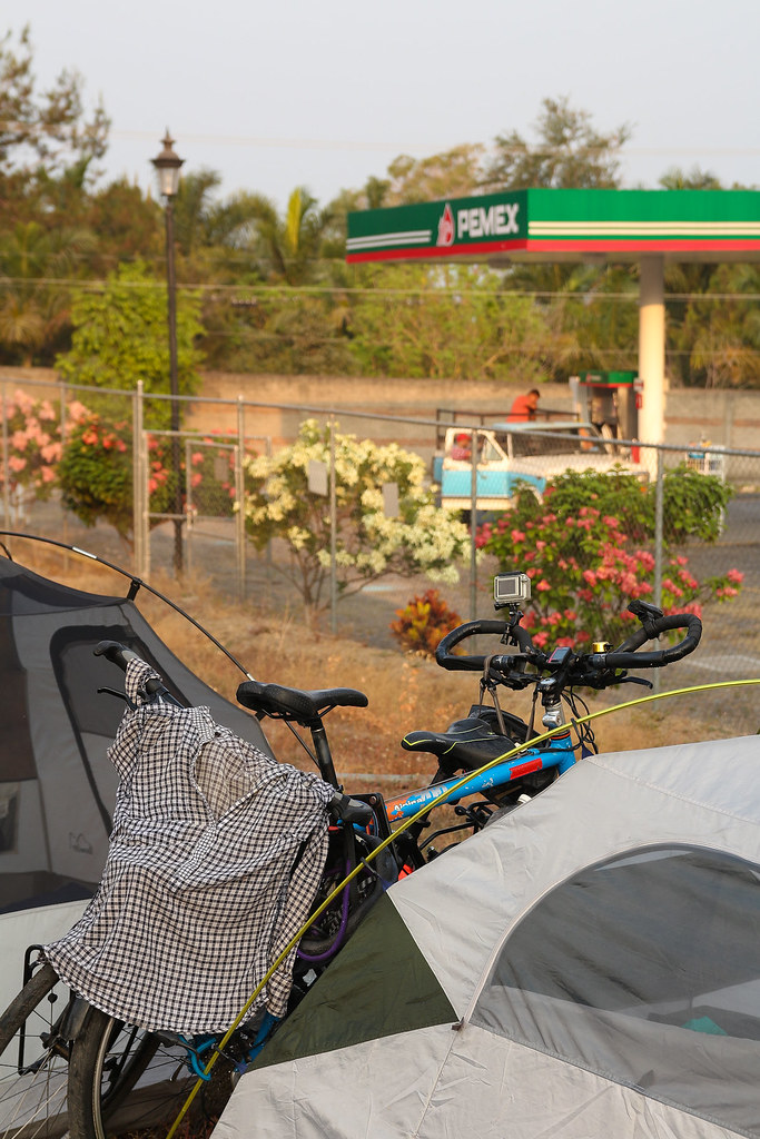
From Suchitlán I don’t know much except there’s a canyon which we didn’t
visit because it was late. We asked at the gas station for a place to camp and we
were referred to a fenced piece of land just next to the gas station. Private
property, but according to the worker we spoke to, there was no problem. The
next morning the Volcán allows us to see his silhouette through the fog, just
to hide again a few minutes later.
 |
| Photo credit: Marika Latsone |
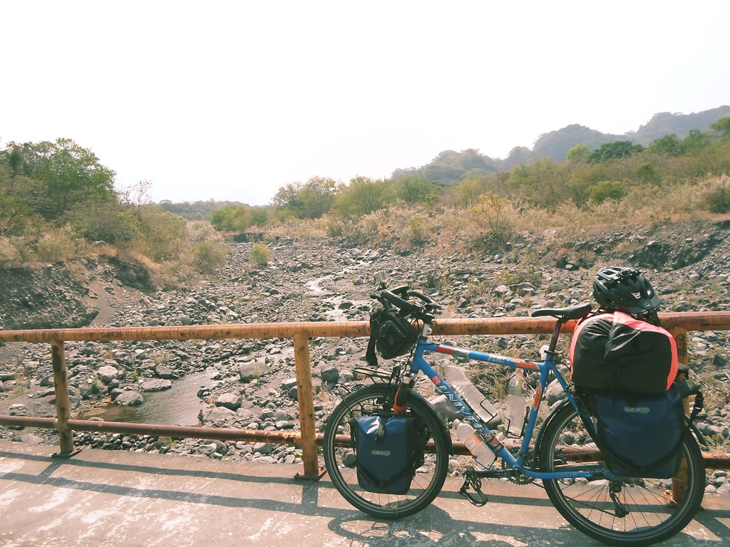
We headed to cover the remaining 17 km. A steep uphill at 6 km/ph and
then a long downhill at 55 km/ph,
 |
| Photo credit: Marika Latsone |
A loaded bike goes up very slowly, but catches up speed very fast when going down.
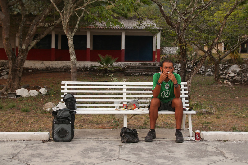
After the downhill there’s a town named La Becerra, where we bought
food and then we took the detour to go to La Yerbabuena.
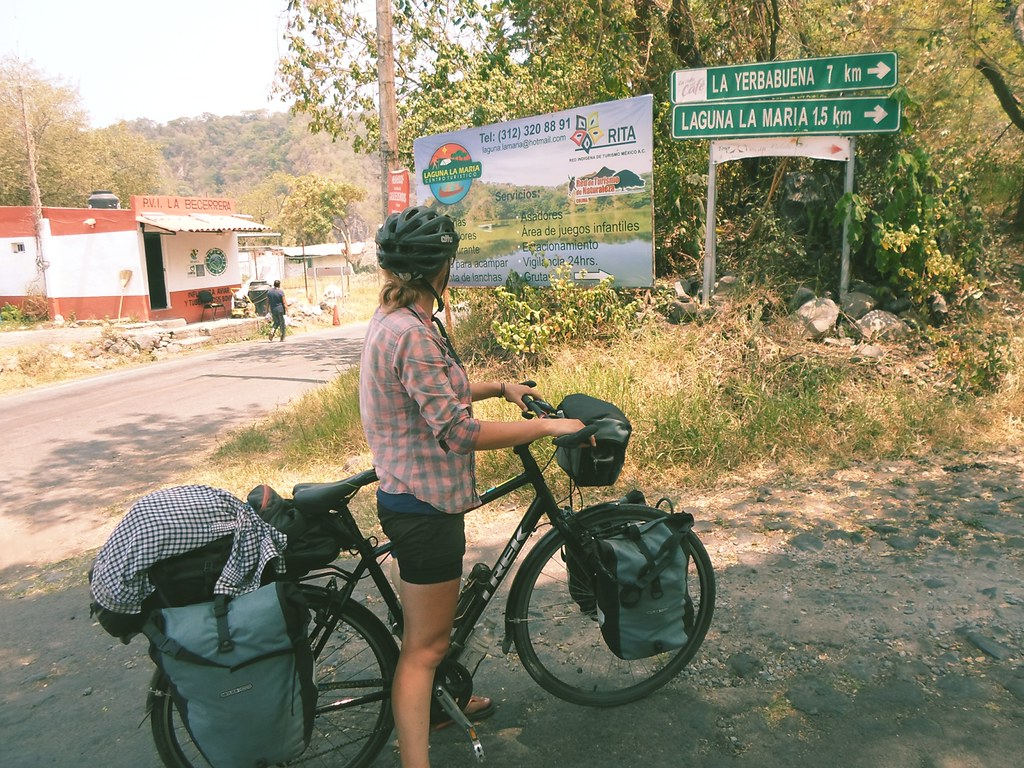
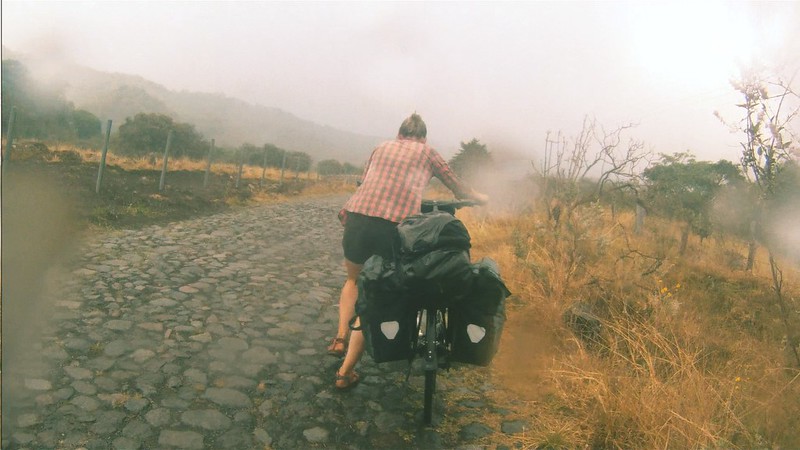
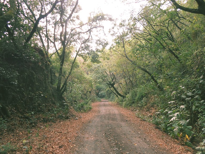
Where, again, we faced cobblestone.
 |
| Photo credit: Marika Latsone |
6 kilometers of walking pushing our bikes to avoid them to fall apart
due to shaking.
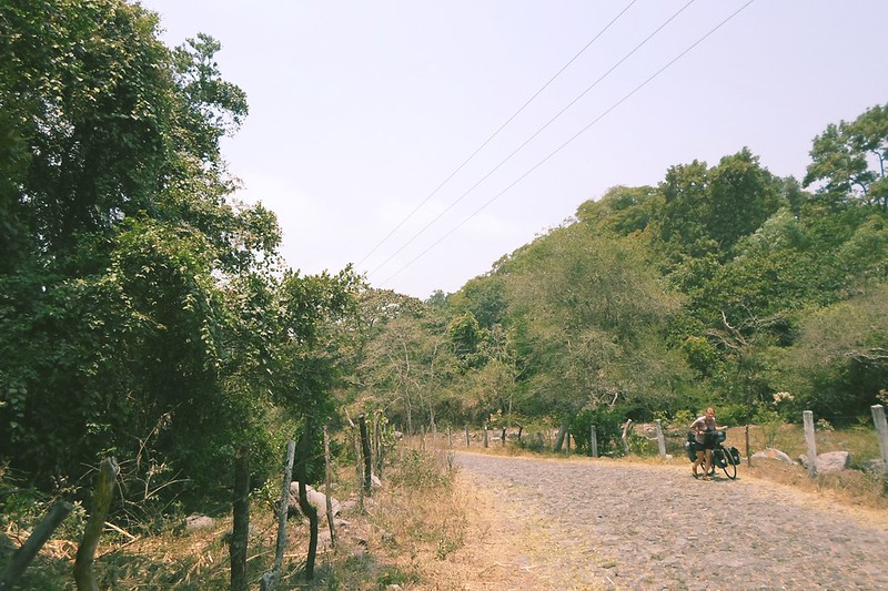
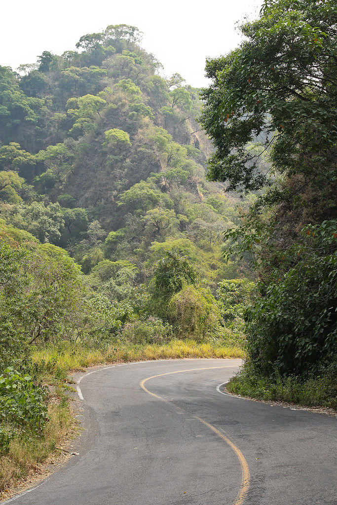
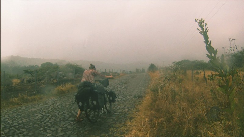
And from the Volcán we get nothing, although the road provides us with
beautiful scenery to enjoy.
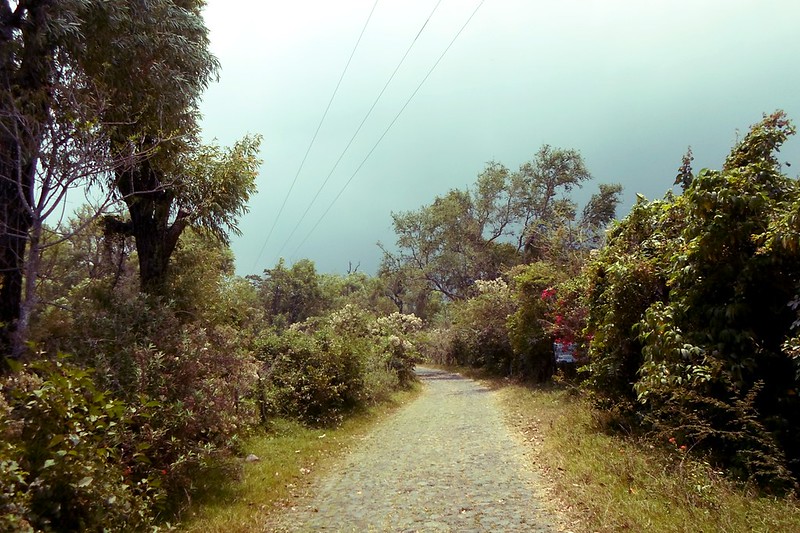
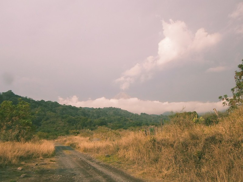
The clouds, opposed to our wish for them to scatter, start to gather.
We hear thunder. One drop, two. It starts raining.
At the beginning it might seem like misfortune, but for two sweaty and
stinky (at least me) bike travellers it may (sometimes) not be that bad.
After two hours of pushing bikes we arrive (still raining) to La
Yerbabuena, which is the inhabited closest place to the Volcán: it’s located at
only 8 km from the crater, and because of that, people here have been dealing
with eviction issues. According to a newspaper in 2014, out of the 71 families
that used to live there, 54 accepted to be relocated in a “safer” área, but the
other 17 families remain here, and they refuse to go because they don’t feel
more in danger than if they were living in any other place. Plus, they suspect
that a reason to evict these families is to build a touristic complex in the area.
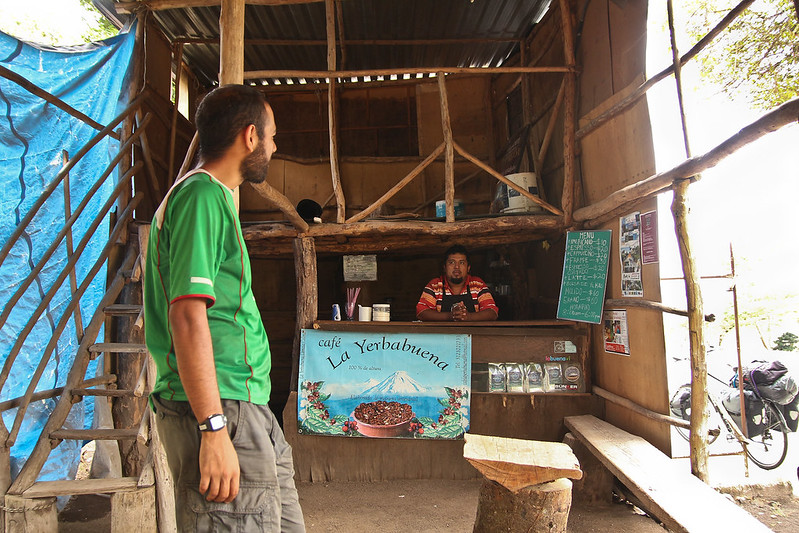
Once in La Yerbabuena, we head to our first goal: to taste the local
coffee. There we met José, who grows “volcanic coffee” (because it grows in soil
enriched with volcanic ashes) that he himself processes and sells. He owns the
small coffee shop we went to, and also sells to hotels and restaurants. After
the rain was over, we enjoyed coffee, cookies and a chat with José, who told us
about a dirtroad that takes you to a higher place from which you can see the
Volcán.
 |
| Photo credit: Marika Latsone |
We left our bikes at his place and we went walking, cameras on hand,
wishing to finally see Mr. Volcán who seemed to have decided not to come out
this day. The road was pretty entertaining (I’m saying it, and I hate walking):
half an hour of a dirt road that goes through tres, birds and cows, and a view
upfront where the Volcán is supposed to be.
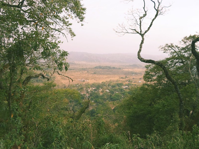
We made it to the top, and nope, nothing. There you could see La
Yerbabuena from above. And we heard the sound of a car disturbing the local
peace with political propaganda at a very high volume (there’ll be elections in
some states of México). This town doesn’t get phone reception, but they don’t
scape from political advertising contamination. Disappointed from life, we decided
to go back down before José closed his coffee shop. The little hope of seeing
the Volcán remaining on us made us take sporadic looks over our shoulders. And
nope, nothing. Clouds. I swore and continued boring Marika with I don’t
remember what topic when suddenly, we heard what at first I thought it was the
sound of a car coming behind us. And when we looked back, we saw it.
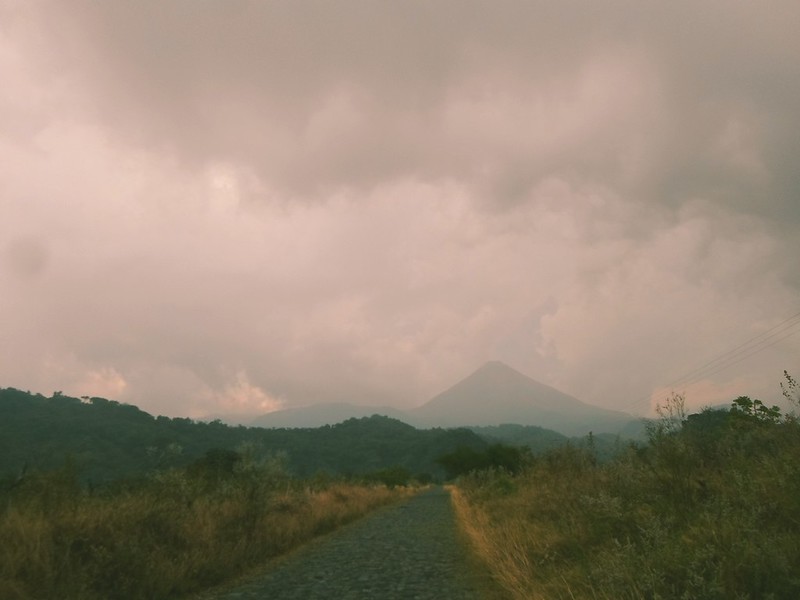
The clouds scattered, the sky cleared.
And finally, Señor Volcán de Fuego shows up spectacularly.
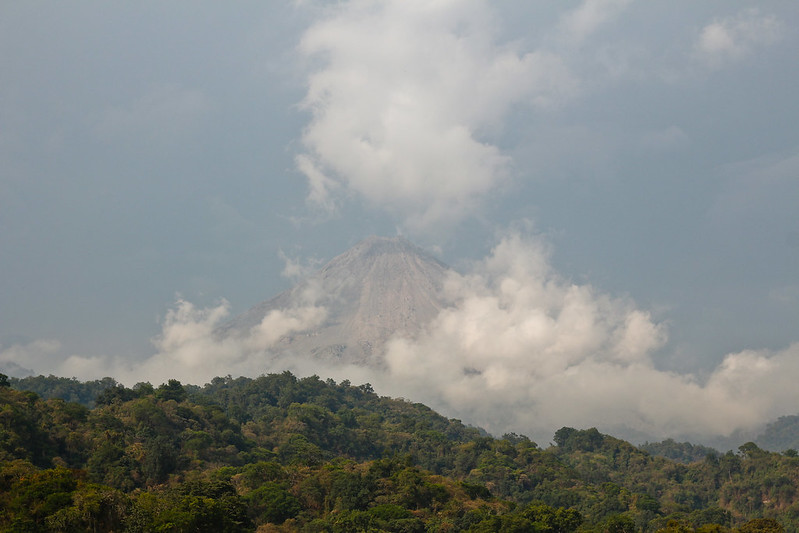 |
| Photo credit: Marika Latsone |
And, like to make our wait more worthy, out of its mouth comes a big
puff, a grey cloud of smoke, which is what made the engine-like sound we heard.
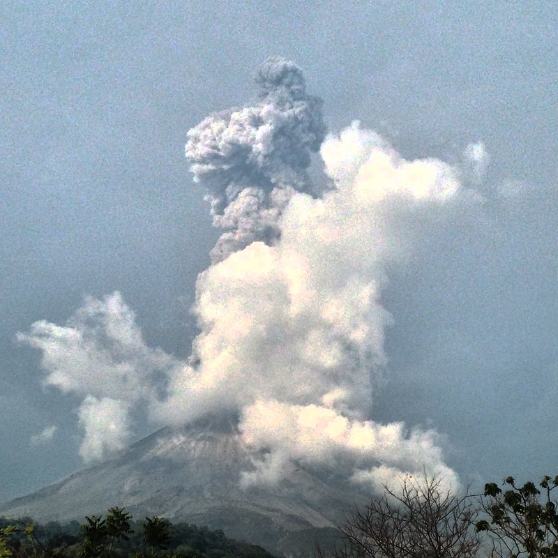
It might not be a fumarole worthy of appearing in the news, but for us
it was the best. Hipnotized, open-mouthed for a few seconds, we proceed to catch
the moment with our cameras. Click click click click click click click click.
Four eyes and three camera lenses are not enough to capture such a tremendous event.
The fumarole grows bigger and heads southwest. With our hunger to see finally
satisfied, our stomachs remind us of our hunger to eat not yet satisfied.
We went back to La Yerbabuena and made of its plaza our temporary home.
Have dinner, set up camp, and go to sleep. I had started to fall asleep laying
face down to the floor when suddenly I feel something on my back. Some insect,
I thought. I shook it off with my hand and felt a little amount of dust that in
my sleepiness I decided to ignore. But then I feel it again. And again I shake
off dust.
 |
| Photo credit: Marika Latsone |
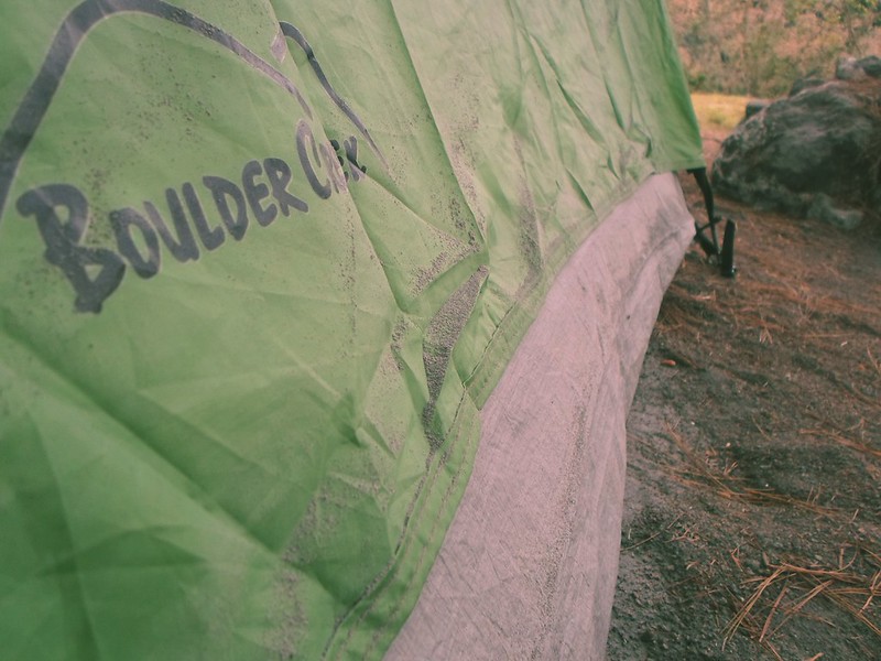
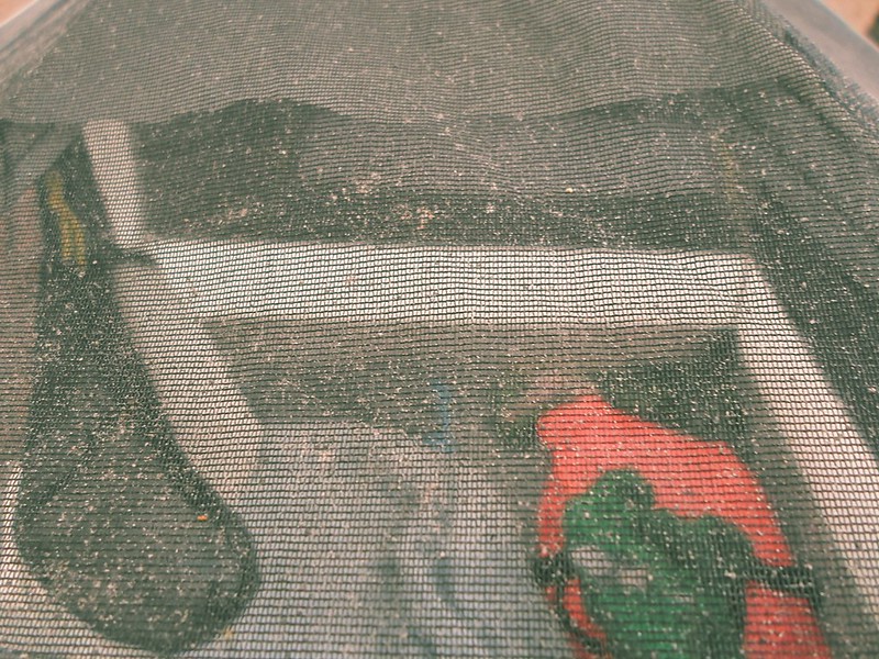
Then I turn on my headlamp and its halo reveals the cause: it was snowing
inside of my tent. Ashes. So fine, that it gets through the mesh. I took the
rainfly out of the pannier and went out to install it. I had never used it because
it had never rained on me, and the day I use it it’s because it’s raining
ashes. And despite being so fine dust, it created a sound similar to rain when
landing on the roof of my tent.
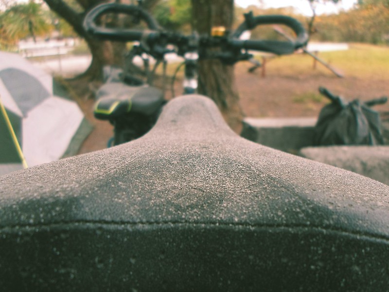
The excitement when I woke up the next morning reminded me of my
childhood days in Ciudad Juárez (northern México, border with the USA), when my
parents woke me up early to see the snow falling down. I opened the zipper of
the door and although it wasn’t much, there was a thin ash layer, covering
everything that had been exposed to it.
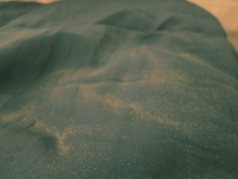
Including several of my things inside of the tent, due to the time it
took me to react. Like my sleeping bag.
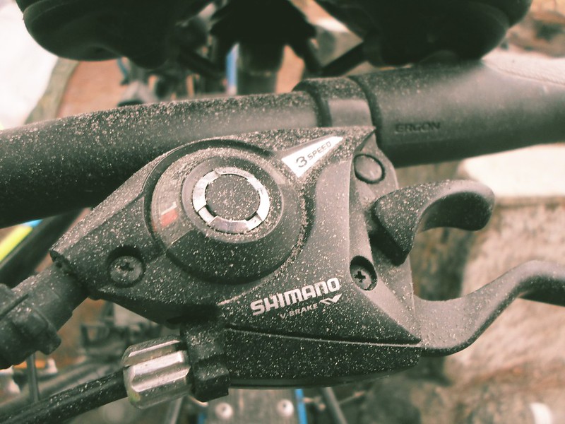
When I cleaned the interior of the tent and took out a small amount of
volcanic ashes I thought about my geologist friends, but in this place people sweep
buckets of ashes all the time, so I guess they can come and get their own kilo whenever
they want.
After packing up and having breakfast, we went on to face the uphill
that the previous day had been a beautiful downhill.
Next destination: Ciudad Guzmán, Jalisco.